
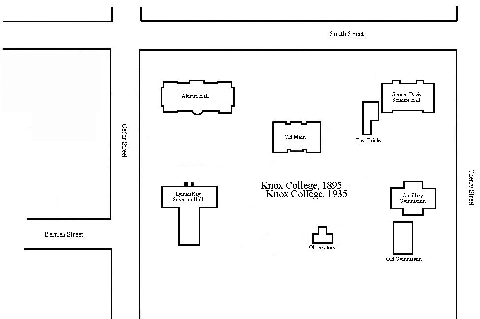
If you have not ever seen them, Sanborn Insurance Maps* are amazing pieces of history. I used them to create the following document. When I viewed them, they were microfiched and I had to sit in the Galesburg Public Library, measure the screen images on the microfich reader carefully, then print a hard copy. This allowed my printout to have the exact same proportions.
Then, I scanned them in keeping all proportions the same, and broke down all the images to create an overlay over time. From there, we have a map of campus with all the original buildings in the correct relative location.
Enjoy!
*I would kill for library access to these maps and get the original TIFF images to redo this whole process over again.